 als@absoluteland.co.nz
 Cell: (027) 237 5011
 Invercargill: (03) 218 7733
 Level 1/19 Yarrow Street, Invercargill
Topographical Capture
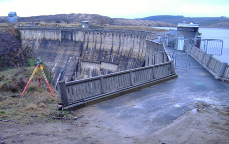
Topographical Data Capture on a Dam Site in Otago
Topographical Survey of features on and surrounding a Dam site in Otago.
The client required accurate coordination in terms of north, east and height. These were required to be represented in terms of the A North Tairei 2000 Geodetic coordinate system and mean sea level.
A series of points were established on and surrounding the dam. From these sites a series of points were observed on and around the dam.
We are always happy to help you with your project, please contact us for a no obligation chat and or quote.