als@absoluteland.co.nz
 Cell: (027) 237 5011
 Invercargill: (03) 218 7733
 Level 1/19 Yarrow Street, Invercargill
Rural Subdivisions
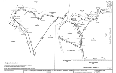
Subdivision and cadastral survey of a farm located in the Catlins in Coastal Southland.
The client required a resource consent for a subdivision of their farm. The property was identified within the coastal zone of the Southland District Council. This required liaising with Environment Southland, New Zealand Historic Places Trust and the Department of Conservation (DOC).
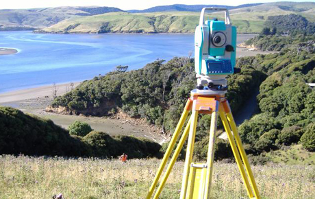
The field survey and computations were done once the Resource Consent was completed. This involved the connection onto local trigs and the searching for old survey marks dating back to the 1860s.
After the survey and title plans were prepared the plans were lodged with the Southland District Council for section 223 and 224c approval (approving the plans and confirming the subdivision is completed). This was via Landonline (New Zealand Government website containing survey and title information). Survey approval was then sought and gained from Land Information New Zealand (LINZ).